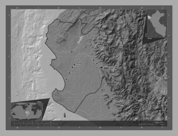
Piura Region Peru Grayscale Elevation Map Lakes Rivers Locations Names — стоковое фото

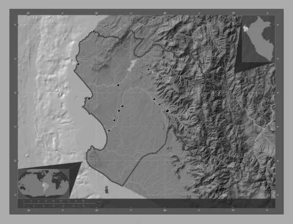
Piura, region of Peru. Grayscale elevation map with lakes and rivers. Locations and names of major cities of the region. Corner auxiliary location maps — фото

Piura, region of Peru. Grayscale elevation map with lakes and rivers. Locations and names of major cities of the region. Corner auxiliary location maps

 — Фото автора Yarr65

Та же серия:

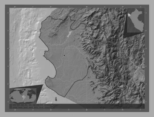
Piura, region of Peru. Bilevel elevation map with lakes and rivers. Corner auxiliary location maps
Piura Region Peru Bilevel Elevation Map Lakes Rivers Corner Auxiliary — стоковое фото
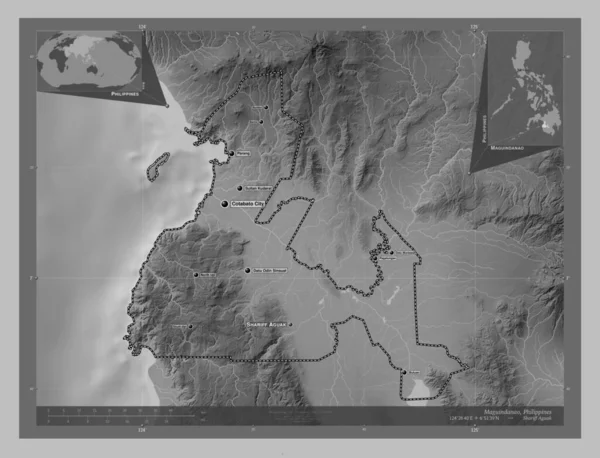
Maguindanao, province of Philippines. Grayscale elevation map with lakes and rivers. Locations and names of major cities of the region. Corner auxiliary location maps
Maguindanao Province Philippines Grayscale Elevation Map Lakes Rivers Locations Names — стоковое фото
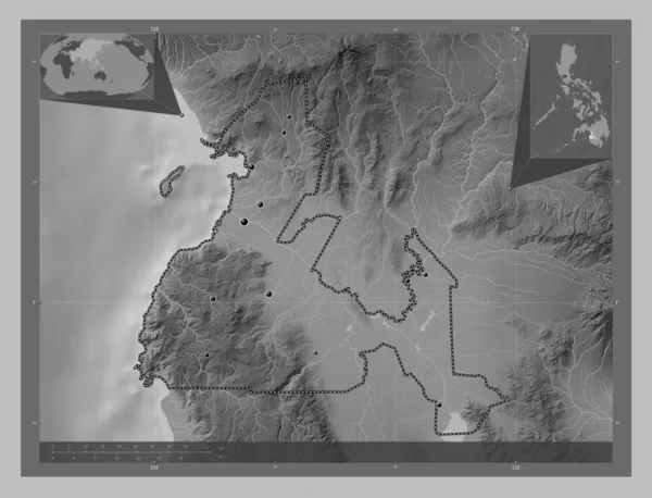
Maguindanao, province of Philippines. Grayscale elevation map with lakes and rivers. Locations of major cities of the region. Corner auxiliary location maps
Maguindanao Province Philippines Grayscale Elevation Map Lakes Rivers Locations Major — стоковое фото
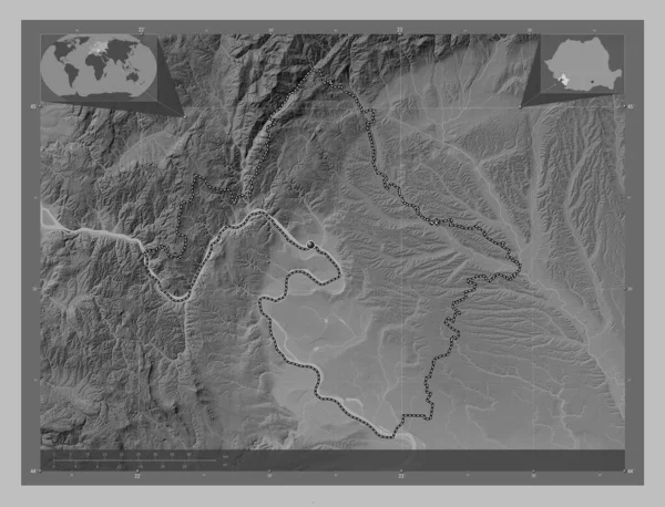
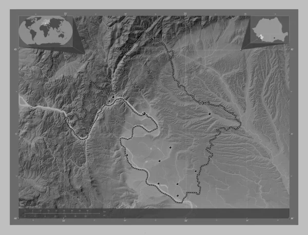
Mehedinti, county of Romania. Grayscale elevation map with lakes and rivers. Corner auxiliary location maps
Mehedinti County Romania Grayscale Elevation Map Lakes Rivers Corner Auxiliary — стоковое фото
Mehedinti, county of Romania. Grayscale elevation map with lakes and rivers. Locations of major cities of the region. Corner auxiliary location maps
Mehedinti County Romania Grayscale Elevation Map Lakes Rivers Locations Major — стоковое фото
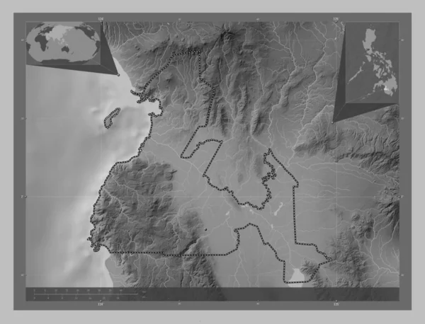
Maguindanao, province of Philippines. Grayscale elevation map with lakes and rivers. Corner auxiliary location maps
Maguindanao Province Philippines Grayscale Elevation Map Lakes Rivers Corner Auxiliary — стоковое фото
Piura, region of Peru. Bilevel elevation map with lakes and rivers. Locations and names of major cities of the region. Corner auxiliary location maps
Piura Region Peru Bilevel Elevation Map Lakes Rivers Locations Names — стоковое фото
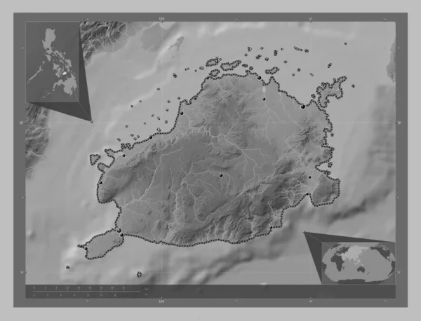
Bohol, province of Philippines. Grayscale elevation map with lakes and rivers. Locations of major cities of the region. Corner auxiliary location maps
Bohol Province Philippines Grayscale Elevation Map Lakes Rivers Locations Major — стоковое фото
Piura, region of Peru. Bilevel elevation map with lakes and rivers. Locations of major cities of the region. Corner auxiliary location maps
Piura Region Peru Bilevel Elevation Map Lakes Rivers Locations Major — стоковое фото
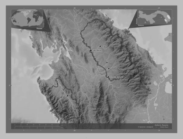
Embera, indigenous territory of Panama. Grayscale elevation map with lakes and rivers. Locations and names of major cities of the region. Corner auxiliary location maps
Embera Indigenous Territory Panama Grayscale Elevation Map Lakes Rivers Locations — стоковое фото
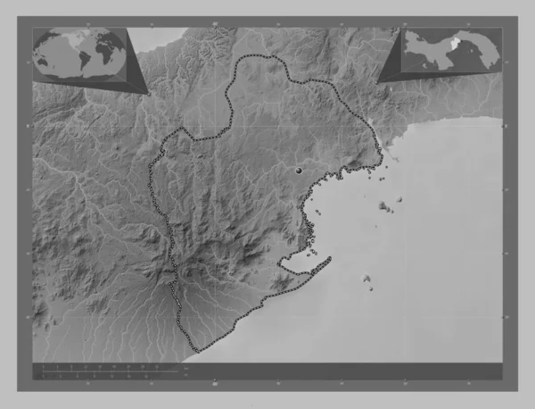
Panama Oeste, province of Panama. Grayscale elevation map with lakes and rivers. Corner auxiliary location maps
Panama Oeste Province Panama Grayscale Elevation Map Lakes Rivers Corner — стоковое фото
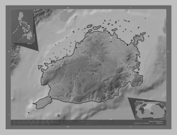
Bohol, province of Philippines. Grayscale elevation map with lakes and rivers. Locations and names of major cities of the region. Corner auxiliary location maps
Bohol Province Philippines Grayscale Elevation Map Lakes Rivers Locations Names — стоковое фото
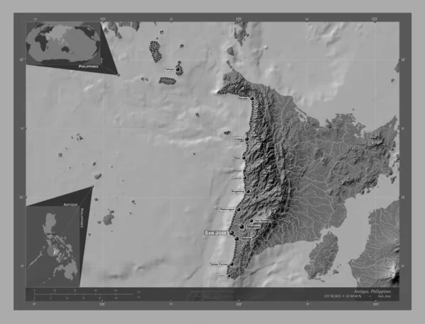
Antique, province of Philippines. Bilevel elevation map with lakes and rivers. Locations and names of major cities of the region. Corner auxiliary location maps
Antique Province Philippines Bilevel Elevation Map Lakes Rivers Locations Names — стоковое фото
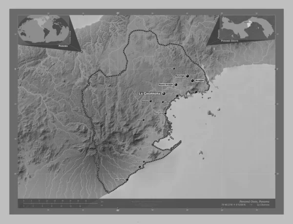
Panama Oeste, province of Panama. Grayscale elevation map with lakes and rivers. Locations and names of major cities of the region. Corner auxiliary location maps
Panama Oeste Province Panama Grayscale Elevation Map Lakes Rivers Locations — стоковое фото
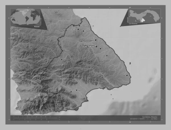
Los Santos, province of Panama. Grayscale elevation map with lakes and rivers. Locations and names of major cities of the region. Corner auxiliary location maps
Los Santos Province Panama Grayscale Elevation Map Lakes Rivers Locations — стоковое фото
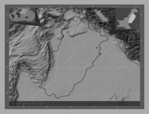
Punjab, province of Pakistan. Bilevel elevation map with lakes and rivers. Corner auxiliary location maps
Punjab Province Pakistan Bilevel Elevation Map Lakes Rivers Corner Auxiliary — стоковое фото

Информация об использовании

Вы можете использовать роялти-фри фотографию "Piura, region of Peru. Grayscale elevation map with lakes and rivers. Locations and names of major cities of the region. Corner auxiliary location maps" в личных и коммерческих целях согласно Стандартной или Расширенной лицензии. Стандартная лицензия охватывает различные варианты использования, включая рекламу, UI-дизайн, упаковку продуктов, и допускает печать до 500 000 копий. Расширенная лицензия предполагает все варианты использования, что и Стандартная, с правом на безлимитную печать, а также позволяет использовать скачанные стоковые изображения для сувенирной продукции, перепродажи товаров и бесплатного распространения.

Вы можете купить это стоковое фото и скачать его в высоком разрешении до 4930x3770. Загружен: 28 янв. 2023 г.